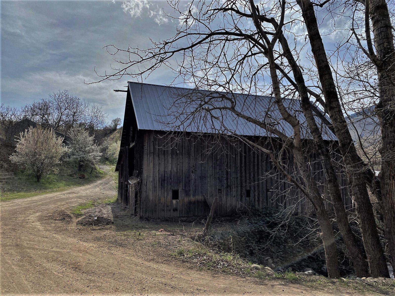
As the Treasure Valley continues to grow at a rapid pace, a Boise State University research team is working to document and defend what’s quietly disappearing beneath subdivision developments and retail corridors — Idaho farmland. Over the past two decades, the Treasure Valley alone has lost an estimated 100,000 acres of agricultural land to urban expansion, a figure that has galvanized researchers, farmers, and policymakers across the region.
A Decade of Research Behind the Effort
The farmland protection initiative at Boise State is led by professor Jodi Brandt, whose team draws from both the Human Environment Systems program and the School of the Environment. Funded through the Idaho EPSCoR MILES Project and the U.S. Department of Agriculture, the research effort has been underway for more than a decade — making it one of the longer-running academic investigations into land use and agricultural preservation in the state.
The scope of the work extends well beyond Ada County. Researcher Gwénaëlle d’Aumale has been conducting interviews with farmers and ranchers across the Treasure Valley, the Magic Valley, and the Teton Valley, gathering firsthand perspectives on how land use changes are affecting agricultural communities throughout Idaho. That on-the-ground approach, researchers say, is critical to understanding not just the economic dimensions of farmland loss, but the cultural and environmental ones as well.
David Anderson, Idaho Senior Program Manager for the American Farmland Trust, said the university’s research has made a meaningful difference for communities trying to make sense of what’s at stake. “Boise State researchers have helped Idaho communities better understand the economic, environmental, and cultural value of agricultural land,” Anderson said.
New Tools to Reach the Public and Decision-Makers
A key recent development in the project is the launch of the FARMPrES website — short for Farmland Protection for Ecosystem Services — designed to make the research accessible to a broad audience. Brandt described the intent plainly: “We designed the website so that any person interested in these issues — members of the general public, decision-makers and scientists — can learn more about how Idaho’s farmlands are changing.”
Carolyn Koehn, who joined the project in 2022 as a doctoral student specializing in spatial sciences and geographic information systems, has been instrumental in developing tools to visualize land use data. GIS mapping allows researchers and community members alike to see where agricultural land has been lost and where it remains most vulnerable — the kind of spatial analysis that can inform zoning decisions, conservation easements, and local policy discussions.
A PhotoVoice project is also in the pipeline, slated to launch on the FARMPrES website this fall. The initiative will add a community-driven dimension to the research, giving farmers and residents a platform to share their own visual documentation of how land use is shifting around them.
How the Pandemic Accelerated the Pressure on Idaho Farmland
While development pressure on Treasure Valley farmland has been building for years, researchers note that 2020 marked a significant turning point. The COVID-19 pandemic prompted a wave of Americans to leave densely populated metropolitan areas in search of more space — a migration pattern that accelerated demand for housing in communities like Meridian, Eagle, Star, and Kuna. That surge in demand translated directly into development pressure on agricultural land at the urban fringe.
For longtime Idaho farming families, the trend is personal. Land that once produced crops and supported rural livelihoods is increasingly being rezoned and subdivided, raising questions about the long-term identity and food security of the region. The interviews being conducted across the Treasure, Magic, and Teton Valleys are capturing those concerns before the landscapes — and the communities tied to them — change beyond recognition.
The broader community conversation around land use and quality of life in the Boise area has been active on multiple fronts. Treasure Valley mayors have also been engaged in related quality-of-life and public space discussions, including efforts to enforce use restrictions along the Boise River Greenbelt as the region manages rapid population growth.
What Comes Next
The FARMPrES website is currently available for public use, and the team’s PhotoVoice project is expected to go live this fall, offering an additional community resource for anyone interested in Idaho farmland protection. Residents, local officials, and landowners in Ada County and across the Treasure Valley who want to engage with the research can explore the site to review findings, learn about conservation tools, and understand how Idaho’s agricultural landscape is being mapped and monitored. Farmers and ranchers interested in participating in ongoing interviews or contributing to the PhotoVoice initiative are encouraged to connect with the Boise State research team through the project website.